GSO
Piedmont Triad International Airport
Greensboro, NC · regional airport
18 mi east · 25 miles, about 36 min by road
Directions ↗
City facts
Forsyth County, North Carolina · 26 miles west of Greensboro
Winston-Salem is in Forsyth County, North Carolina, about 26 miles west of Greensboro. The center of Winston-Salem sits at 36.1028° N, 80.2608° W, 792 feet above sea level, on Eastern Time (ET).
Updated November 2026
Map of 5 places loads as you scroll.
Road distance and typical driving time from the center of Winston-Salem, without live traffic.
| City | By road | Drive time |
|---|---|---|
| Greensboro, NCeast · pop. 307,381 | 30 mi26 mi straight line | 40 min |
| Charlotte, NCsouthwest · pop. 943,476 | 78 mi69 mi straight line | 1 hr 35 min |
| Washington, DCnortheast · pop. 702,250 | 337 mi262 mi straight line | 6 hr 30 min |
| Columbus, OHnorthwest · pop. 933,263 | 372 mi305 mi straight line | 7 hr 20 min |
Airports with scheduled passenger flights, shortest drive first. The Winston-Salem airport guide has drive times, transit and a comparison.
Greensboro, NC · regional airport
18 mi east · 25 miles, about 36 min by road
Directions ↗Concord, NC · regional airport
55 mi southwest · 65 miles, about 1 hr 20 min by road
Directions ↗Charlotte, NC · major airport
72 mi southwest · 84 miles, about 1 hr 45 min by road
Directions ↗Local City Network guides for nearby cities.
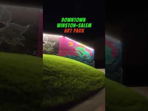
THINGS TO DO · YOUTUBE SHORT
A local activity Short.
Watch on YouTube ↗Winston-Salem is in Forsyth County, North Carolina, about 26 miles west of Greensboro. The center of Winston-Salem sits at 36.1028° N, 80.2608° W, 792 feet above sea level, on Eastern Time (ET).
Winston-Salem is 30 miles from Greensboro, North Carolina by road, about 40 min of driving without traffic (26 miles in a straight line).
Winston-Salem is 78 miles from Charlotte, North Carolina by road, about 1 hr 35 min of driving without traffic (69 miles in a straight line).
Piedmont Triad International Airport (GSO) in Greensboro is the closest airport with scheduled flights by road: 25 miles, about 36 min to the passenger terminal, 18 miles east in a straight line from the center of Winston-Salem. The nearest major airport is Charlotte Douglas International Airport (CLT), 84 miles, about 1 hr 45 min. The airport guide compares them all.
About 792 feet (241 meters) above sea level at Winston-Salem's center point, per the USGS 3D Elevation Program. Elevations vary across the city.
On average Winston-Salem gets 6.2 inches of snow a year (NOAA 1991-2020 normals); see the full snow guide for months and records.
Sources: county from the Census Bureau geocoder; elevation from the USGS 3D Elevation Program; airports from OurAirports (the same list as the airport guide); city populations from the Census Bureau's Vintage 2024 estimates; road distances and drive times from OSRM on OpenStreetMap data (© OpenStreetMap contributors). Checked November 2026. Drive times are typical and exclude traffic.